Leverage Your Community’s Tree Benefits & Identity Future Opportunities

Urban tree canopy (UTC) assessments from Davey Resource Group, Inc. provide leaders and stakeholders with valuable insights about a community’s urban tree canopy to intelligently approach environmental sustainability, urban heat island effects, and other impacts of urban forestry.

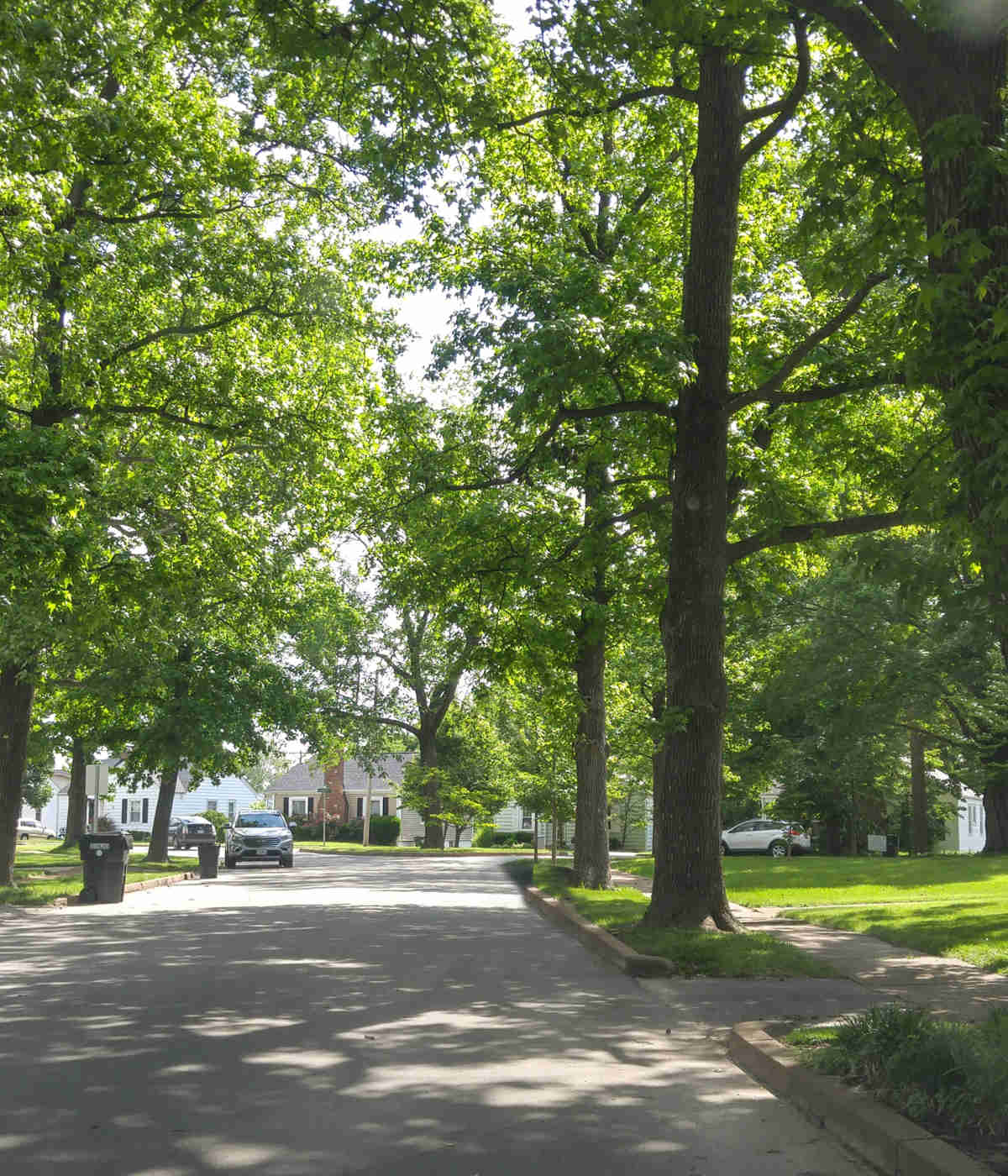
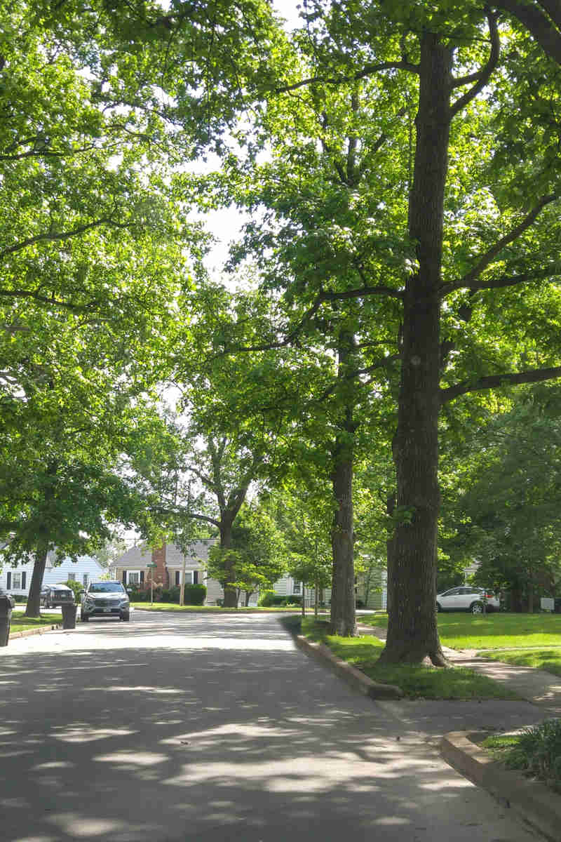
The UTC includes layers of leaves, branches and stems that cover the ground when viewed from above.

With high-resolution GIS data, we can effectively classify and assess a community’s tree canopy for growth modeling, priority tree planting and planning, and the management of energy conservation, stormwater, and water resource initiatives.

Urban Tree Canopy Assessment

DRG Urban Tree Canopy Assessment Capabilities

Our analysis of canopy and spatial data can determine baseline percentages across a municipality and within specific regions, including:

  • Neighborhoods
  • Management areas
  • Right-of-ways
  • Parks
  • Areas by land use/parcel (private vs. public)

Additionally, a UTC assessment from DRG provides access to unmatched reports and tools, including:

  • ESRI ArcGIS Geodatabase, shapefiles, raster images and metadata
  • Final report of tree canopy cover and/or land cover classification metrics
  • High-quality interactive and hardcopy maps
Image 22@2X
Image 22@2X

Contact Davey Resource Group Today

Homeowners looking for services for their residential property, contact your local Davey office.

Let's Find What
You're Looking For!